The Mar de Palha: Golden Reflections and Tidal Ecology
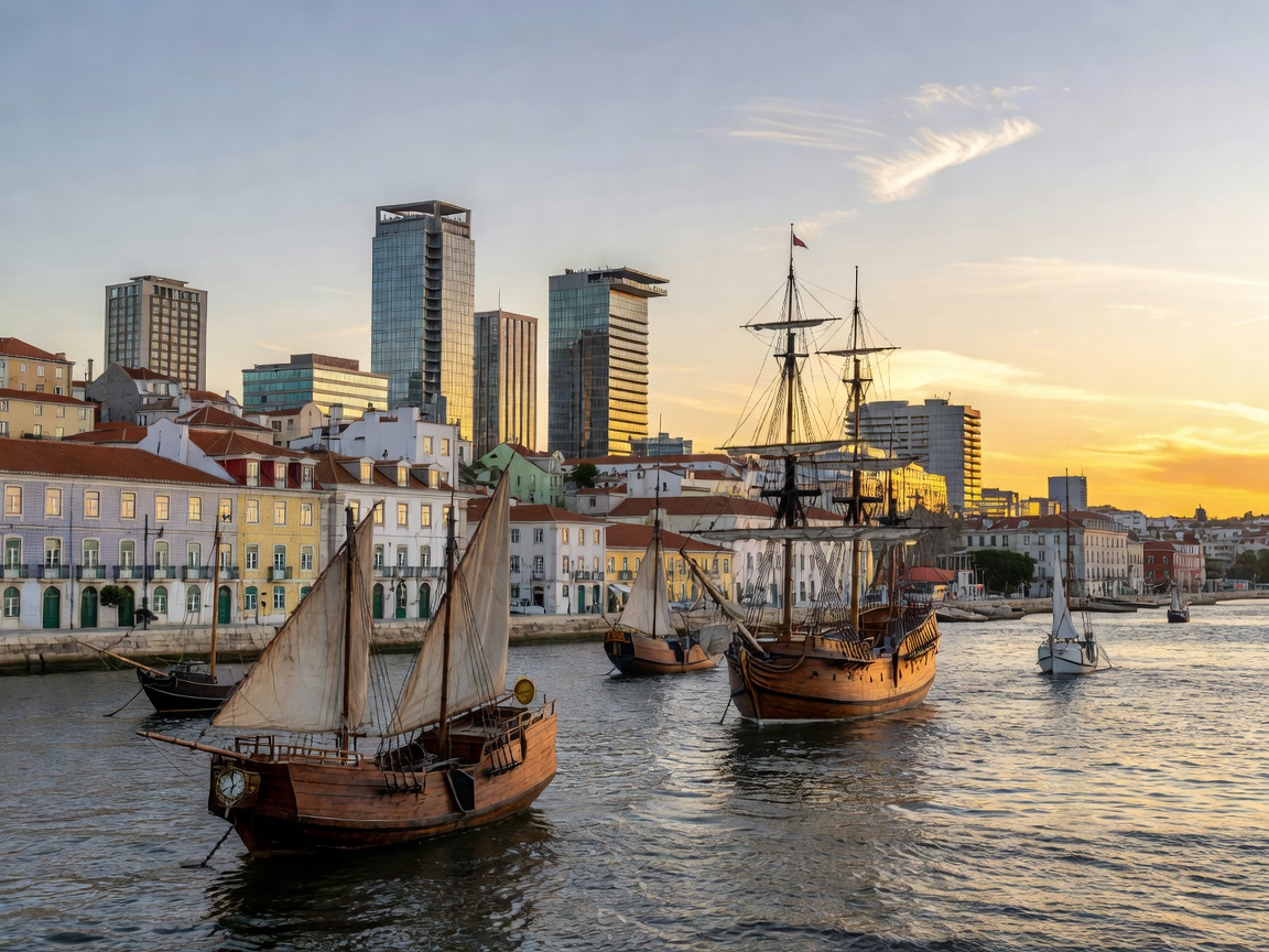
The estuary of the Tagus is the largest wetland in Portugal and one of the most vital in Western Europe, covering approximately 320 square kilometers. The nickname Mar de Palha derives from the late afternoon Iberian sun, which casts a shimmering golden, straw-like hue across the rippling tidal waters.
Over 50,000 migratory waterfowl, including vast pink flocks of greater flamingos (Phoenicopterus roseus), winter in the rich mudflats of the Reserva Natural do Estuário do Tejo on the southern bank.
The Age of Discovery: Belém and the Caravel Launchpad
At the mouth of the river stands the Manueline masterpiece Torre de Belém (1519) and the Jerónimos Monastery. It was from these exact shores that Vasco da Gama set sail in 1497 to discover the maritime route to India, followed by Pedro Álvares Cabral toward Brazil.
Modern Engineering: Bridging the Estuary
Two iconic engineering feats connect Lisbon with the Setúbal Peninsula across the Tejo:
- Ponte 25 de Abril: The deep-red suspension bridge spanning 2.27 km across the river's narrowest throat, with foundations descending 82 meters into the riverbed.
- Ponte Vasco da Gama: One of Europe's longest bridges, spanning 12.3 km across the expansive northern bay of the estuary.
The Atlantic Confluence
Beyond the fortress of Bugio lighthouse, the fresh waters collected from the heights of Spain meet the roaring blue Atlantic swell, completing one of Europe's most storied river narratives.