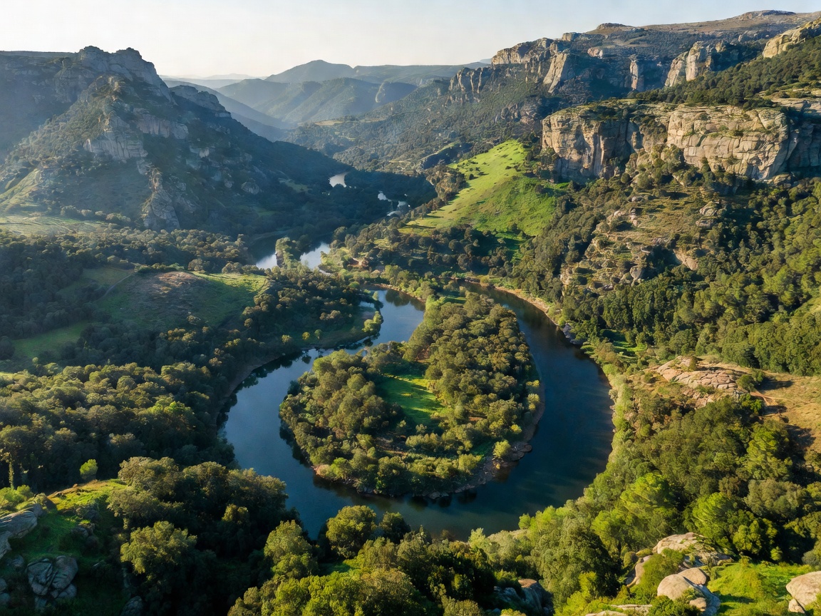
The Salto del Gitano: Natural Amphitheater of the Skies
The signature landmark of Monfragüe is the sheer cliff of Peña Falcón (commonly called the Salto del Gitano), rising directly over 200 meters above the emerald waters of the Tagus. Here, powerful thermal wind currents rise from the river valley, providing an effortless highway for the largest birds of prey in the Western Palearctic.
Avian Census of Monfragüe
Monfragüe shelters over 400 breeding pairs of the Eurasian Black Vulture (Aegypius monachus), representing the dense concentration on Earth. In addition, the river gorge is inhabited by Spanish Imperial Eagles, Bonelli's Eagles, Black Storks, and hundreds of Griffon Vultures nesting in the limestone cracks.
The Confluence of the Tagus and the Tiétar
A few kilometers downstream, the Tagus absorbs the Tiétar River. The slow-moving waters create extensive wetland corridors lined with willows, ash, and poplars. These riverbanks host European otters, Iberian pond turtles, and provide vital hydration for the Iberian Lynx reintroduction programs in the adjoining dehesa grasslands.
The Castle of Monfragüe
Perched atop the highest crest overlooking the river confluence stands the remnants of an 8th-century Moorish fortress. From its stone watchtower, visitors can witness the vast panorama of the river carving its ancient path toward the Portuguese border.